|
Roadmap "coast to coast" via Google Maps [+/- = inzoomen/uitzoomen].
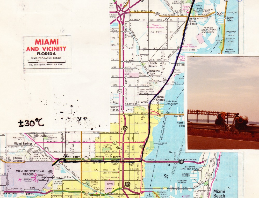
[NL] Tijdens mijn fietstocht dwarsdoor de zuidelijke staten van America markeerde ik gedurende het fietsen heel nauwkeurig de
route met potlood. Dit kon omdat ik de landkaart van die dag uit de Rand McNally Road atlas scheurde en deze tijdens
het fietsen op de stuurtas voor me plaatste. Ook de overnachtingen werden nauwkeurig op de kaart aangekruist.
Hierdoor was het mogelijk om zelfs na meer dan veertigjaar heel precies in Google Maps de route in te tekenen.
[EN] During my bike ride across the southern states of America, I marked the route very accurately with pencil while cycling.
This was possible because I tore the map of that day from the Rand McNally Road atlas and placed it on the handlebar
bag in front of me while cycling. The overnight stays were also carefully marked on the map. This made it possible
to draw the route very precisely in Google Maps, even after more than forty years.
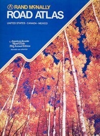
Used ROAD ATLAS from 1979
|